


- 4:20 h
- 17.03 km
- 240 m
- 348 m
- 301 m
- 604 m
- 303 m
- Start: Netphen-Irmgarteichen
- Destination: Haiger-Rodenbach
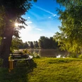
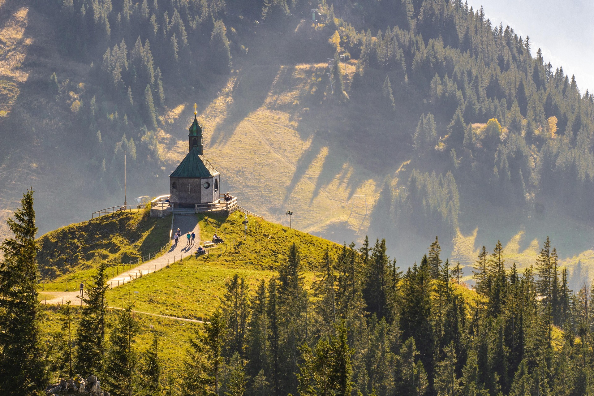
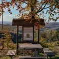
From Irmgarteichen you hike over the yellow-marked access path to the Rothaarsteig main trail. The next destination point is again a source: The Dill is a 55-kilometer-long tributary of the Lahn and forms the natural border between Hessian Westerwald and Lahn-Dill-Bergland. After Haincher and Gernsbacher (523 m) follows the Tiefenrother Höhe (551m). Here you can enjoy a spectacular view or breathtaking sunsets from the viewing platform "Nose in the Wind".
After a small quarry you reach the 300 m long Hauberg trail, which introduces the topic of Hauberg forestry. This special form of land use, a combination of agriculture and wood production, emerged in the course of iron smelting. After a few meters at the junction "Kalteiche" the Rothaarsteig splits. The main trail leads straight to Dillenburg. Also leading to Dillenburg but via the Fuchskaute in the High Westerwald is the Westerwald variant of the Rothaarsteig. You stay on the main trail and soon reach the natural monument Lucaseiche, which, with its height of 27.5 m and a trunk circumference of 3.85 m, is an impressive sight. Halfway down, the Rothaarsteig passes through the Steinbachtal valley past Fellerdilln down to the Dill valley and heads towards the town of Rodenbach.

Waypoints


Good to know
Best to visit
Author
Katharina Schwake-Drucks
Organization
Touristikverband Siegen-Wittgenstein e.V.
License (master data)

Nearby