- Photos & Map
How would you like to arrive?
- Call
- Description
- Good to know
- Nearby
Download GPX file
- 6:11 h
- 20.40 km
- 579 m
- 578 m
- 91 m
- 270 m
- 179 m
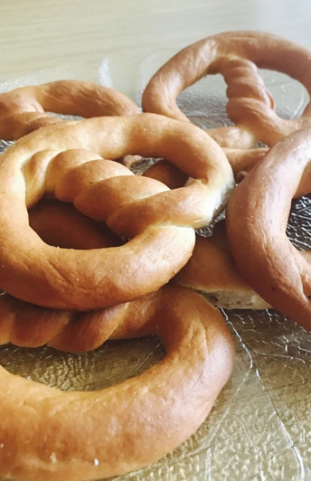
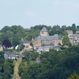
Our tour begins and ends in Oberburg – an ideal opportunity to stock up on Burger-Brezel rolls at the bakery just before setting off. Then you can get going – always follow the hiking sign in a circle on this walk.
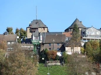
The route begins in Oberburg. Slowly, you begin to leave Schloss Burg behind. Watch out, the path goes uphill before turning right into Talsperrenstraße. Follow the path through Angerscheid and then down into the upper Sengbach valley. Continue downhill along the Sengbach reservoir for a short distance. Passing Obergraben, walk down through the forest to Strohn. Before the animal shelter, cross the Wupper on the Strohner Bridge.
Along the Bertramsmühler Bach, the path now heads up to the Burger Landstraße, across it and down again to the Wupper, which it crosses for the second time at Wiesenkotten. The trail then leads through Schildbusch to Westhausen, through Westhausen and into the Eschbach valley before heading through woodland again in an arc back to the starting point. After a good 20 kilometres, you’ll find yourself back in Oberburg where it’s time for a well-deserved hearty meal. You’re spoilt for choice here, because there is definitely no shortage of places to stop for food.
Good to know
Best to visit
Tour information
Loop Road
Contact person
Bergisches Land Tourismus Marketing e.V.
Author
Text: Lilian Möntmann, bearbeitet/übersetzt: Supertext/Home of Translation GmbH
Organization
Bergisches Land Tourismus Marketing e.V.
License (master data)
Nearby
