Tanna Circular Hiking Trail

- 4:00 h
- 16.12 km
- 242 m
- 242 m
- 519 m
- 635 m
- 116 m
- Start: Tanna (market)
- Destination: Tanna (market)
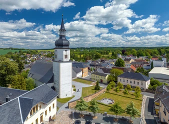
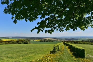
The route passes the former brick pond areas to the Leitenteichen, which have been a bathing paradise with a sandy beach since 2018. Through one of the largest contiguous forest areas, the Kämmera, it continues along idyllic field paths with a wonderful view along the district of Frankendorf. Especially in spring and summer, a wonderful section of the route. Many beautiful spots, such as the "family swing", offer a place to rest. The dam in Frankendorf also impresses with a large number of wild birds and invites you to linger.
Waypoints
Start
Destination
Good to know
Pavements
Unknown (39%)
Street (3%)
Asphalt (10%)
Gravel (18%)
Trail (28%)
Path (3%)
Best to visit
suitable
Depends on weather
Directions
- Start and finish: Tanna, market
- Marking: green fir tree on a white background
- Route: approx. 16 km
- Duration: 4 h
- Path condition: forest and field paths
- Difficulty: ups and downs in the Vogtland hilly landscape
Tour information
Loop Road
Author
Saskia Prelec
Organization
Vogtland - Sinfonie der Natur
License (master data)
Saskia Prelec

Author´s Tip / Recommendation of the author
Dining options:
- Country Inn Strosche, Frankendorf 036646 22323
- Inn "Zum Löwen", Tanna 03664622292
- Snack bar "Zur Kapelle", Tanna 036646 20146
Nearby


Download GPX file