To the photo points in the Holler and Kräutertal valleys


- 1:50 h
- 24.01 km
- 272 m
- 272 m
- 692 m
- 817 m
- 125 m
- Start: Fischbachau train station or Fischbachau Lehenpoint
- Destination: Fischbachau train station or Fischbachau Lehenpoint
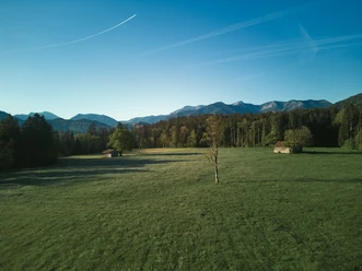
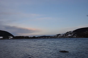
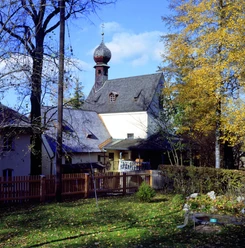
Don't forget your camera or mobile phone on this route! It goes straight across the Leitzach valley, and every few kilometers one of the new photo points awaits with unique views into the Leitzach valley and the mountains of the region! Starting in the south, either at the train station in Aurach or in Lehenpoint, the route continues mostly on quiet streets or bike paths towards the north - for example to the Winklstüberl, to Elbach, or up to Wörnsmühl! Always with great views and a total of 5 photo points for selfies, Insta posts, or just to pause! We wish you lots of fun experiencing and sharing your adventures on this route!
Good to know
Best to visit
suitable
Depends on weather
Tour information
Stop at an Inn
Author
Regionalentwicklung Oberland
Organization
Alpenregion Tegernsee Schliersee
License (master data)

Nearby