Weyarn cross-country trail

- 1:39 h
- 5.36 km
- 100 m
- 104 m
- 620 m
- 701 m
- 81 m
- Start: Weyarn, Mangfallweg
- Destination: Weyarn, Mangfallweg
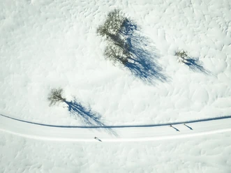
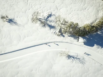
The circular trail leads 5.3 km towards Stürzlham and back to Weyarn along the forest edge. There are breathtaking views of the Weyarn monastery and the foothills of the Alps.
Good to know
Best to visit
suitable
Depends on weather
Tour information
Familiy-Friendly
Loop Road
Loop Road
Stop at an Inn
Author
Regionalentwicklung Oberland
Organization
Alpenregion Tegernsee Schliersee
License (master data)

Nearby

Download GPX file