A2 Rudersdorf

- 1:17 h
- 4.65 km
- 123 m
- 123 m
- 351 m
- 475 m
- 124 m
- Start: Parking at Ziegenberg
- Destination: Parking at Ziegenberg
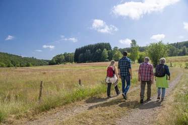
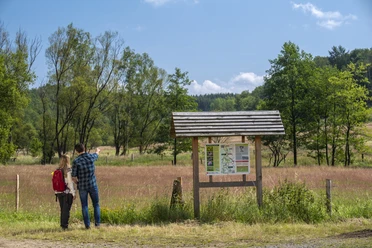
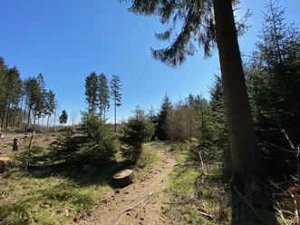
The route leads around the Ziegenberg, the highest elevation in the local area. Other points along the path are the Oberes Langenbachtal nature reserve, the Jägersborn spring, and the Silbersee. The path also has connections to other (circular) routes and is therefore flexibly extendable or shorten-able.
Good to know
Best to visit
- suitableDepends on weather
Tour information
Loop Road
Loop Road
Author
Lena Wildfeuer
Organization
Südliches Siegerland
License (master data)

Nearby
Download GPX file