Access route Green Belt from Bad Elster


- 4:35 h
- 17.80 km
- 278 m
- 222 m
- 480 m
- 625 m
- 145 m
- Start: Bad Elster
- Destination: Three-Country Corner
A fascinatingly beautiful landscape stretches from the Baltic Sea over the Elbe, Harz, Rhön and Thuringian Forest to the Saxon Vogtland. In the shadow of the Iron Curtain, a natural-historical treasure with outstanding species diversity developed. With the fall of the Wall, the death strip became a lifeline - and thus an international network of valuable habitats for animals and plants.
In Vogtland, 44 kilometers of the Green Belt run from the Dreiländereck Saxony - Bavaria - Bohemia nature reserve near Pabstleithen (municipality of Eichigt) to the Burgstein area (municipality of Weischlitz) to the Three-State Stone Saxony, Thuringia, Bavaria near Grobau. Thus, the entire Saxon section of the Green Belt, which is completely under nature protection, is located in the Vogtland.
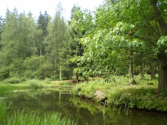
If you want to hike to the Green Belt in Vogtland, we recommend the route shown on the map from Bad Elster to the Three-Country Corner near Pabstleithen. First, follow the marking of the Vogtland Panorama Route (VPW logo), then the marking of the Erzgebirge - Vogtland Ridgeway (Ridgeway logo) and from the Bergen forest pond the “Path of Generations”. The last section runs on the hiking trail Geh.Zeiten (logo Geh.Zeiten).
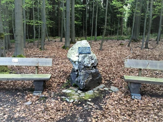
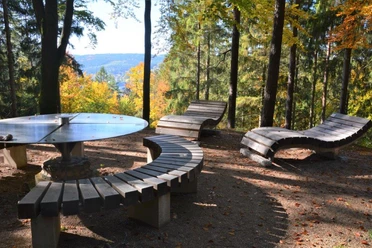
Waypoints


Good to know
Pavements
Best to visit
Tour information
Cultural Interesting
Author
Vogtland - Sinfonie der Natur
Organization
Vogtland - Sinfonie der Natur
License (master data)
Vogtland - Sinfonie der Natur

Nearby