Aller Loop - Hiking Route along the River Aller


- 2:24 h
- 10.02 km
- 8 m
- 8 m
- 35 m
- 46 m
- 11 m
- Start: Pfennig Bridge (The ‚Penny‘ Bridge)
- Destination: Pfennig Bridge (The ‚Penny‘ Bridge)
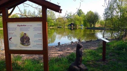
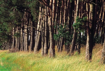
This route takes you directly along the Aller. Experience the diversity of the plant and animal species found on the way, or visit the medicinal Healing Herbs Garden with its onsite Café KräuThaer.
Good to know
Best to visit
- suitableDepends on weather
Tour information
Loop Road
Loop Road
Nature Highlight
Suitable for Bike
Tour with Dog
Contact person
Author
Organization
Stadt Celle - FD Tourismus
License (master data)
Stadt Celle - Fachdienst Tourismus

Nearby




Download GPX file