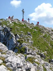
Auracher Köpferl


- 3:45 h
- 9.10 km
- 443 m
- 443 m
- 755 m
- 1,198 m
- 443 m
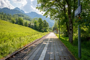
- Start: Fischbachau-Hammer
- Destination: Fischbachau-Hammer
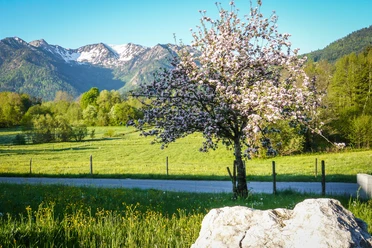
From the Fischbachau-Hammer train station we hike to the prominently positioned Auracher Köpferl above Aurach. This small forest summit looks inconspicuous next to its neighbors Wendel- and Breitenstein, but the path there is a magnificent hike on beautiful trails.
Good to know
Best to visit
suitable
Depends on weather
Tour information
Loop Road
Loop Road
Author
Regionalentwicklung Oberland
Organization
Alpenregion Tegernsee Schliersee
License (master data)

Nearby
Download GPX file