- 2:47 h
- 14.58 km
- 663 m
- 663 m
- 463 m
- 1,088 m
- 625 m
- Start: Erstfeld railway station
- Destination: Erstfeld railway station
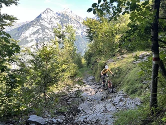
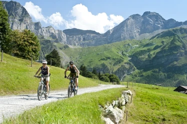
Already after the turn into the valley path, at the exit of Erstfeld, the majestic Schlossberg shows you the direction. The winding valley road challenges you from the start with a steep climb. On the valley road, you pass the charming hamlets and homesteads typical of the scattered settlements in the Uri mountain areas. At Bergheimetli Wilerli at 1085 m above sea level, you have already reached the highest point of your route. The following single trail over the Plattental, with the short, technically demanding descent over the Alpine path at the Bockitobel, makes the biker's heart beat faster. At Bockiberg, you reach the most impressive viewpoint of the route. Take a moment to let your eyes wander over the entire valley floor and the lower Reuss valley. In Hofstetten, next to the nostalgic Hofstetten-Wilerli cable car with open cabins, you reach the valley floor. Back in Erstfeld, a visit to the Info Center of AlpTransit Gotthard AG is worthwhile, featuring an attractive exhibition about the NEAT, the century project at the Gotthard with the longest railway tunnel in the world.
Pavements
- Street (1%)Asphalt (77%)Trail (14%)Path (8%)
Best to visit
- suitableDepends on weather
Tour information
Loop Road
Loop Road
Author
Markus Fehlmann
Organization
Verein Urner Wanderwege
License (master data)
Markus Fehlmann