By train to the mountains: From Tegernsee to Schliersee – a different way


- 5:45 h
- 14.99 km
- 929 m
- 899 m
- 742 m
- 1,443 m
- 701 m
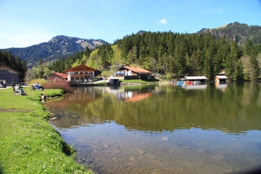
- Start: Tegernsee train station
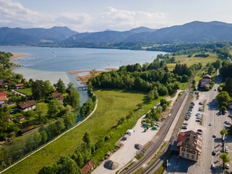
- Destination: Fischhausen-Neuhaus train station
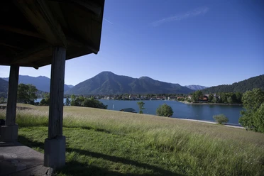
Already the train ride is an experience: Outbound along the eastern shore of Lake Tegernsee, return along the western shore of Lake Schliersee. In between lies a rewarding route that offers some elevation and kilometers. Unlike the classic Tegernsee-Schliersee routes over Neureuth and Gindelalmen or over Kreuzbergalm, fewer people are on this crossing – but more peaks. It is a challenging hike on mostly well-passable paths, so very good fitness and surefootedness are required.
Good to know
Best to visit
suitable
Depends on weather
Tour information
Stop at an Inn
Summit
Author
Regionalentwicklung Oberland
Organization
Alpenregion Tegernsee Schliersee
License (master data)

Nearby