Dream Loop Steinhauerweg


- 3:30 h
- 10.21 km
- 198 m
- 176 m
- 259 m
- 418 m
- 159 m
- Start: Forest festival site Britten; Zum Festplatz, 66679 Losheim am See-Britten
- Destination: Forest festival site Britten; Zum Festplatz, 66679 Losheim am See-Britten
On this path, cultural history and landscape become one.
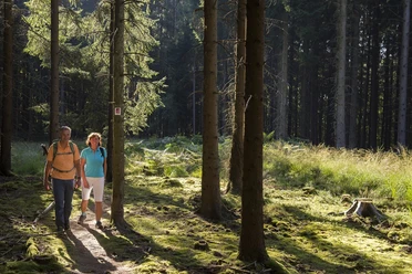
Between 1743 and 1786, stonemasons from Britten created numerous roadside crosses. Ten historic crosses line the Steinhauerweg. In the shady forest, narrow forest paths are interwoven with wider forest service roads. On soft forest ground, gently downhill, the valley of the Saarhölzbach is reached.
Historic boundary stones of the former border can be found along the path. After World War I, the Saar region was separated from Germany and placed under the administration of the League of Nations. On the ascent from the idyllic Saarhölzbachtal, there is a memorial forest that is crossed on a wide path.
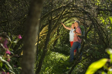
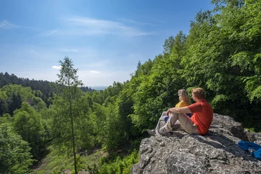
In sunshine, sun rays illuminate the dark red rocks in an abandoned quarry, creating fascinating shadow plays cast by the trees above the quarry. Flowers and grass grow out of cracks and crevices, some rock slabs are covered with thick moss layers, and some rocks have trees growing on them with roots coiled around the stone. At the "Fonkenbruch" quarry, signs of hammer and chisel are still clearly visible on the dark rock walls of the narrow passage. Trees cloak the quarry in mystical darkness. Shortly afterward, wonderful views "At Schönertskopf" over the forests to Losheim and Merzig.
The Steinhauerweg was rated with 87 experience points by the German Hiking Institute.
Good to know
Best to visit
Tour information
Cultural Interesting
Loop Road
Loop Road
Stop at an Inn
Author
Frank Polotzek
Organization
Saarland
License (master data)

Nearby
Download GPX file