Dream route Bach- und Burrenpfad


- 4:15 h
- 13.14 km
- 190 m
- 190 m
- 247 m
- 361 m
- 114 m
- Start: Hiking parking lot Galgenberg in Schmelz-Hüttersdorf
- Destination: Hiking parking lot Galgenberg in Schmelz-Hüttersdorf
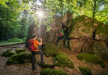
Short descents and ascents with constant changes of direction lead deep into the forest at the beginning. On winding paths you reach the ridge at Lanzenkopf.
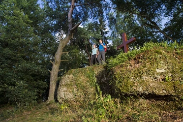
The next destination is the so-called "Judenburren." The Judenburren was part of the Westwall fortification. Various spots and forest windows offer views into the Saar valley, to Lorraine in the Black Forest High Forest, and into the Schaumberger Land.
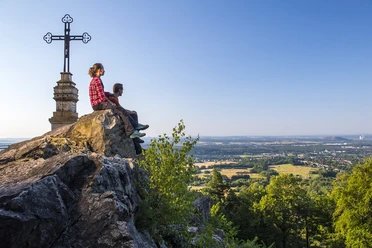
At the old border line is a rest area with an exceptional view into the Saar valley up to the heights of Berus. Also visible are the mountain heaps of Püttlingen and Ensdorf, the expansive Warndtwald, the power plant in Ensdorf, the industrial facilities of Carling in Lorraine, the Dillinger hut, and the forested mountain ridge of Limberg rising behind it.
The exit from the forest at Leikenberg is connected with a distant view into Schaumberger Land and the Schaumberg. For a long stretch, the route runs through open meadows and fields.
The path was rated with 60 experience points by the German Hiking Institute.

Good to know
Best to visit
Tour information
Cultural Interesting
Loop Road
Loop Road
Author
Klaus Wallach
Organization
Saarland
License (master data)

Nearby
Download GPX file