Dream Loop Kaltenstein Path


- 3:00 h
- 8.04 km
- 330 m
- 309 m
- 222 m
- 408 m
- 186 m
- Start: Sports and Leisure Center Dillinger Straße 71, 66822 Lebach
- Destination: Sports and Leisure Center Dillinger Straße 71, 66822 Lebach
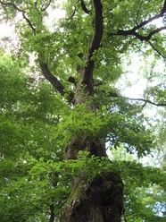
In the first ascent, there are historic boundary stones from the time before the French Revolution when the political map in today's Saarland resembled a patchwork. Surrounded by mighty beeches, somewhat hidden, lies a historic horse trough.
In 1990, the hurricanes “Vivian” and “Wiebke” destroyed 100 hectares of forest on the northern slope of the Hoxberg. In about 10 hectares, nature is allowed to take its course in the “fairy tale forest.”
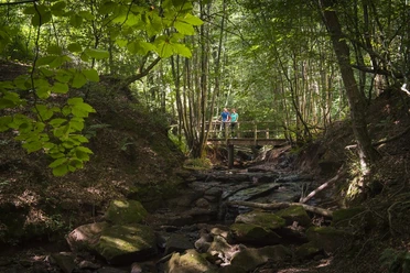
As soon as the hollow is reached, it goes uphill again. Rock, dead giant trees, ferns almost two meters high, and the smell of rotting wood give the ascent a special charm.
After Zollstock, it goes uphill before reaching the Kaltensteine. This rock formation, geologically a conglomerate rock from the Rotliegend, a mixture of flint and sandstone, was formed about 270 million years ago.
On the descent, a forest window offers a very special view of Lebach lying in the valley below and the Schaumberg rising a bit further behind.
The path was rated with 64 experience points by the German Hiking Institute.

Good to know
Best to visit
Tour information
Cultural Interesting
Loop Road
Loop Road
Author
Frank Polotzek
Organization
Saarland
License (master data)

Nearby
Download GPX file