- 2:54 h
- 9.51 km
- 278 m
- 276 m
- 542 m
- 740 m
- 198 m
- Start: Parking lot of the school facilities near the Eich parish church
- Destination: Parking lot of the school facilities near the Eich parish church
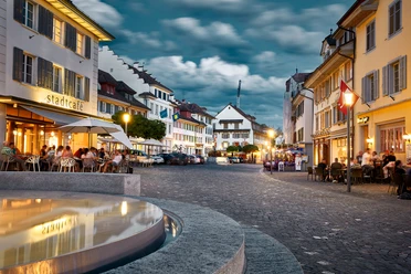
The Eich circular trail offers a varied hike from the village of Eich (530 m above sea level) up to the Eichberg (750 m above sea level). Discover sandstone rocks, waterfalls, ponds and biotopes as well as meadows and forests with breathtaking views of Lake Sempach and the mountains.
Highlights:
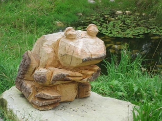
- Glöggli frog trail in the Pfarrtobel ravine
- Smartphone treasure hunt "The treasure of Eich"
- Rest bench with panoramic view (Obere Hundgellen)
- Panorama board by the Eichbergstrasse
- Roman path along the Eichberg vineyard
Benches and a barbecue area at the Brand sports and leisure facilities invite you to linger.
Best to visit
- suitableDepends on weather
More information
- Easily accessible on foot or by bike. Parking lot available.
Documents
License (master data)