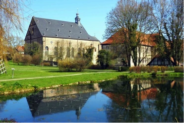
From Gremsheim to the Kopfbuche

- 1:45 h
- 6.61 km
- 117 m
- 117 m
- 177 m
- 294 m
- 117 m
- Start: Gremsheim fire brigade equipment house
- Destination: As at the start
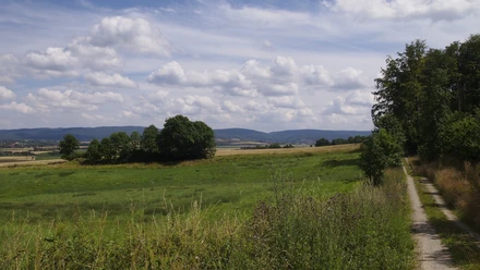
Passing old orchards, we ascend through the romantic Luhebach valley to the edge of the forest. Scenic field and forest paths then lead further to the Kopfbuche. Its branches broken off in storms reveal the size of this once mighty Süntel beech.
Good to know
Best to visit
suitable
Depends on weather
Tour information
Loop Road
Loop Road
Author
Heinz Schrader
Organization
Harz: Magische Gebirgswelt
License (master data)

Nearby

Download GPX file