From Osterhofen to Hochkreuth


- 1:30 h
- 4.87 km
- 200 m
- 201 m
- 794 m
- 990 m
- 196 m
- Start: Osterhofen
- Destination: Bayrischzell
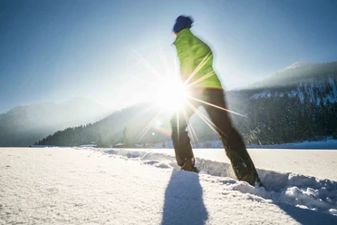
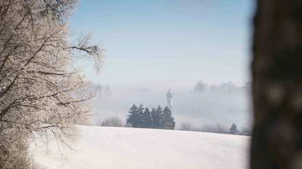
Hochkreuth is a sunny high plateau above Bayrischzell. On this route you mostly hike up there in the sun. The descent to Bayrischzell follows the very popular Männleinweg in summer. Past the lookout tower (with a small detour connected) the route leads back down into the valley to Bayrischzell, where various refreshment options invite. The last part to the starting point in Osterhofen can be done either by train or on foot along the railway line.
Good to know
Best to visit
suitable
Depends on weather
Tour information
Familiy-Friendly
Author
Regionalentwicklung Oberland
Organization
Alpenregion Tegernsee Schliersee
License (master data)

Nearby