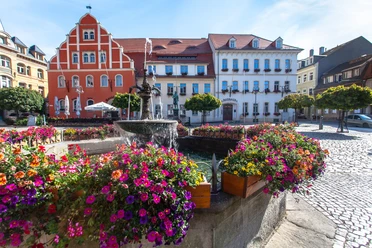
Gersdorf-Schwedenstein


- 2:00 h
- 7.23 km
- 179 m
- 11 m
- 226 m
- 416 m
- 190 m
- Start: Gersdorf station
- Destination: Schwedenstein in Steina
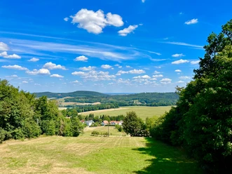
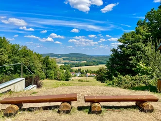
The short hiking path mainly serves to connect the municipality of Steina to the station in Gersdorf, providing hikers an alternative arrival option. In the municipality of Steina, connections exist to the hiking trails "Long-distance trail Baltic Sea-Saale reservoirs" (blue stripe), regional trail "Red Stripe West Lusatia" (red stripe), "Kamenz-Stolpen" (yellow stripe), as well as "Circular trail Steina-Luchsenburg" (yellow dot).
Good to know
Pavements
- Street (29%)Asphalt (32%)Gravel (14%)Trail (16%)Path (8%)
Best to visit
- suitableDepends on weather
Tour information
Stop at an Inn
Author
Region Westlausitz
Organization
Das Landschaftswunderland Oberlausitz
License (master data)
Region Westlausitz