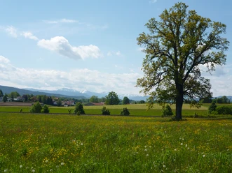
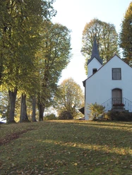
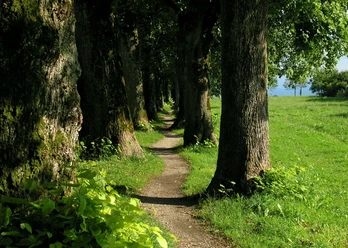
Holzkirchner Impressions: Teufelsgraben Circuit

- 1:30 h
- 6.40 km
- 47 m
- 47 m
- 660 m
- 705 m
- 45 m
- Start: Holzkirchen station
- Destination: Holzkirchen station
The Teufelsgraben circuit is suitable as a shorter hike/walk from Holzkirchen station. It leads mostly along side streets and paved pedestrian and cycle paths, in the Teufelsgraben also over forest and forest paths - therefore it can also be completed with a (pneumatic wheel, all-terrain) stroller.
Good to know
Best to visit
- suitableDepends on weather
Tour information
Loop Road
Loop Road
Suitable for Pushchair
Author
Markt Holzkirchen Standortförderung
Organization
Alpenregion Tegernsee Schliersee
License (master data)

Nearby
Download GPX file