Hundhaupten - Plant and fungal excursion to the Hegebach valley


- 1:18 h
- 5.00 km
- 52 m
- 67 m
- 273 m
- 340 m
- 67 m
- Start: Sports field Hundhaupten
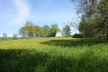
The Hegebach, with its largely natural course, runs through a structurally rich valley floodplain. During the hike, typical spruce and pine forests are first crossed in order to reach the protected landscape component "Hegebach valley." On the way, the path passes by a pedunculate oak forest, ponds with sedimentation vegetation, a fen, alder forests, and species-rich wet and marshy meadows before returning to Hundhaupten. During the hike, typical vegetation units and, despite the advanced season, some characteristic plant species can be observed.
Waypoints
Start

Good to know
Pavements
Street (6%)
Asphalt (14%)
Gravel (24%)
Trail (56%)
Best to visit
suitable
Depends on weather
Tour information
Loop Road
Loop Road
Tour with Dog
Author
Vogtland - Sinfonie der Natur
Organization
Vogtland - Sinfonie der Natur
License (master data)
Vogtland - Sinfonie der Natur

Nearby
Download GPX file