- Photos & Map
How would you like to arrive?
- Description
- Good to know
- Nearby
Download GPX file
- 1:55 h
- 7.28 km
- 136 m
- 136 m
- 154 m
- 232 m
- 78 m
- Start: Herste shooting club
- Destination: Herste shooting club
In 1908, the villages of Riesel, Istrup, Herste and Schmechten decided to build a central water supply. In the district of Herste, a meadow of around 3700 square meters in the Eschbach valley was purchased from the farmer Leinweber for 1000 gold marks. This meadow was located near the Bollermühle mill and had a strong spring. The Bollerborn water association was founded. The spring was named Koerfer-Quelle in honor of the deserving and popular district administrator Karl Koerfer, who held this office from 1887 to 19017.
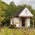
The spring house, built in 1910 in the forest between Bad Driburg and Brakel near the old post road, brought the collected water to the elevated tank in Istrup at a natural gradient via a pipe with a diameter of 100 millimetres. From there, the water was piped to the four communities. Due to the high altitude of Schmechten, the water had to be pumped into the elevated tank there using a ram (a pump powered by water).
After 40 years, the water from the Koerfer spring was no longer sufficient to supply the connected communities, and several deep wells were drilled in Riesel and Schmechten. In 1963, when the water quality of the Koerfer spring no longer met the drinking water guidelines of the time, it was taken off the grid. The door was welded shut and bricked up. Hikers who repeatedly passed by the spring house on the old post road noticed its decay. They were of the opinion that this technical monument was worth preserving. These hikers and local history enthusiasts from Bad Driburg and Herste set to work. The town of Brakel, as the owner of the building, and the Bad Driburg public utility company provided materials and logistics.
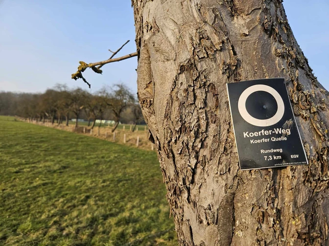
Waymark: white ring
Good to know
Pavements
Best to visit
Tour information
Labelling
Loop Road
Equipment
Directions & Parking facilities
Schützenhaus Herste
Horner Straße 14
33014 Bad Driburg-Herste
Author
Organization
Bad Driburger Touristik GmbH
License (master data)
Bad Driburger Touristik GmbH
Map
Nearby


