Meisebockweg in Liesen

- 3:25 h
- 12.08 km
- 364 m
- 364 m
- 410 m
- 589 m
- 179 m
- Start: Village center at the "old church" (now parish hall)
- Destination: Village center at the "old church" (now parish hall)
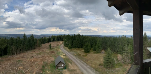
The hiking trail is a circular route to the Höhenflug and is called Meisebockweg. Meiseböcke is the old nickname for the residents of Liesen. It originated from disputes between the people of Liesen and the lords of Meysenburg.
The trail is consistently marked with a white H on a blue background.
Good to know
Best to visit
- suitableDepends on weather
Tour information
Loop Road
Loop Road
Author
Rita Martin
Organization
Ferienwelt Winterberg
License (master data)

Nearby

Download GPX file