Plessenburg and Ilsestein - Ilsenburg

- 2:21 h
- 7.68 km
- 241 m
- 241 m
- 288 m
- 529 m
- 241 m
- Start: Hiking parking lot, Ilsetal
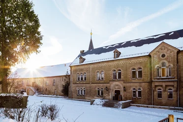
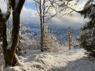
Starting at the trailhead, hike through the Ilsetal to the shelter/stop Ilsetaler. Here, turn left and follow the signs to Plessenburg. From the Plessenburg forest inn, return downhill towards Ilsenburg until the Ilsetaler (Plessenburg) stop. Here, turn onto the path towards Ilsestein and follow the trail past the Paternoster cliffs to the Ilsestein viewpoint. From here, continue downhill to Ilsenburg.
Good to know
Best to visit
- suitableDepends on weather
Tour information
Loop Road
Loop Road
Stop at an Inn
Author
Harzer Tourismusverband
Organization
Harz: Magische Gebirgswelt
License (master data)

Nearby
Download GPX file