Quellenweg Osthelden


- 1:54 h
- 7.98 km
- 177 m
- 176 m
- 304 m
- 392 m
- 88 m
- Start: Parking lot at Robertsweiher on L 714 between Junkernhees and Osthelden, entrance Alter Weg
- Destination: Circular path ends at the starting point
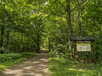
The circular hiking trail begins at the parking lot by Robertsweiher and leads along the Berghäuser Weiher into the Berghäuser Tal. On an asphalt path, it passes two huts up to a junction that leads to the golf course. There, it goes left over the Berghäuser Bach and along its bank to its first spring. Following further side valleys and changing tree species, it then goes downhill to a fork in the path. There, the path leads left uphill to the remains of the former natural monument “Guggugsdänn” (Cuckoo fir), a gnarled spruce that fell victim to storm Friederike in 2019. Here and in the next hollow, the main tributaries of the Berghäuser Bach originate.
The path leads through forest areas destroyed by the Kyrill hurricane in 2007. After crossing the country road, you reach the spring of the Ostheldener Bach. Along its course, the path goes downhill and left before the country road. Behind the next hill lies the spring area of the Frenschenbach, where the forest festival area with shelter invites you to rest. Then comes the Rohbach, whose source is about 150 m above. The path follows the stream downhill to the country road and back to the starting point.
More information at: https://quellenweg.osthelden.eu

Good to know
Best to visit
- suitableDepends on weather
Tour information
Cultural Interesting
Loop Road
Loop Road
Author
Wolfgang Hoffmann
Organization
Touristikverband Siegen-Wittgenstein e.V.
License (master data)
Wolfgang Hoffmann

Nearby


Download GPX file