- Photos & Map
How would you like to arrive?
- Description
- Good to know
- Nearby
Download GPX file
- 6:25 h
- 25.29 km
- 157 m
- 157 m
- 209 m
- 296 m
- 87 m
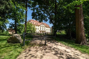
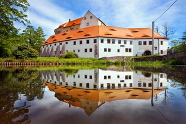
The hiking trail crosses the Dresden Heath and the Landwehr and serves as an important feeder into the Seifersdorf Valley and the Hüttertal. Hikers are guided by the green dot marking on a white background. The trail runs over forest and field paths, but also along local connecting roads.
Good to know
Pavements
Best to visit
Directions
East of the Landwehr, the hiking trail follows the Wendensteig north of the suburban settlement. From the suburban settlement, a paved path continues to Wallroda. In doing so, the trail skirts the Hüttertal landscape protection area. The Hüttertal is an important local recreation area in the Dresden surroundings. Already at the Wallrodaer Hutberg, a turn can be made towards the Felixturm (200 m away) (yellow stripe). After the trail passes through the Radeberg district of Ullersdorf, it reaches the extensive forest area of the Dresden Heath via the Tanzzipfel meadow. Here it follows the historic trail marking system. Over clearing 2, the Old 4 and clearing 1, one arrives at Radeberger Straße. After crossing, the Nachtflügel, the Kreuz, and the Unterringel follow. Via the Liegauer Saugarten, the path leaves the Heath and continues to Liegau-Augustusbad down into the Seifersdorf Valley. Over the Silberberg, the trail leads to Feldschlößchen, a district of the municipality of Wachau. From here, it is only a few steps back to the Landwehr.
Tour information
Cultural Interesting
Loop Road
Stop at an Inn
Tour with Dog
Directions & Parking facilities
From Radeberg, you reach Feldschlösschen via Badstraße.
You can reach the starting point of the circular trail by bus to the stop "Feldschlösschen Siedlung", which only runs on weekdays. Exact information about your connection can be found on the ZVON website.
Author
Region Westlausitz
Organization
Das Landschaftswunderland Oberlausitz
License (master data)
Map
Sachsenkartographie - »Hiking and Cycling Map West Lusatia«, 1:33,000, ISBN 978-3-86843-018-9
Dr. Barthel Verlag - »Cycling and Hiking Map Bischofswerda, Pulsnitz, Stolpen and Surroundings«, 1:35,000; ISBN 978-3-89591-144-6
Nearby


