Snowshoe trail 886: Brüsti Attinghausen


- 1:43 h
- 3.95 km
- 246 m
- 247 m
- 1,489 m
- 1,619 m
- 130 m
- Start: Mountain station of the Attinghausen-Brüsti aerial cableway
- Destination: Mountain station of the Attinghausen-Brüsti aerial cableway
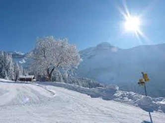
The starting point for the snowshoe route is the mountain station of the Attinghausen–Brüsti aerial cableway. From the mountain station, after a short ascent, you reach the viewpoint “Kreuz” (Schwanden-Nossen) with a wonderful view of the Urner Reuss valley.
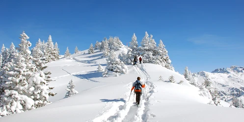
Continue past holiday chalets to Alp Catrina. To the south you see the Waldnacht with the Sonnigenstöcke and to the north lies the hiking area Chulmen in front of you. The route now leads down the slope to Rämseliboden, then through open terrain and romantic forest groups to Hinter Chulm, then to Mittlere Chulm, past Rämseli back to Rämseliboden. You leave the forest and reach the ski slope. Now you go uphill, past the old ski jump almost parallel to the descent route, until you reach Alp Catrina again.
Various routes can be chosen for both beginners and advanced participants.
Good to know
Pavements
- Unknown (53%)Trail (44%)Path (3%)
Best to visit
- suitableDepends on weather
Tour information
Loop Road
Loop Road
Stop at an Inn
Author
Markus Fehlmann
Organization
Verein Urner Wanderwege
License (master data)
Markus Fehlmann

Nearby


Download GPX file