Warndt Forest Trail


- 4:45 h
- 16.26 km
- 314 m
- 314 m
- 198 m
- 314 m
- 116 m
- Start: Parking lot at the hunting lodge; Lauterbacher Straße 6, 66352 Großrosseln-Karlsbrunn
- Destination: Parking lot at the hunting lodge; Lauterbacher Straße 6, 66352 Großrosseln-Karlsbrunn
The Warndt Forest Trail is an approximately 16.5 km long circular hiking trail through a forested cultural landscape between Karlsbrunn, Dorf im Warndt, Emmersweiler and St. Nikolaus and from there into the southwestern Warndt with the Karlsbrunn wildlife park up to the border with the neighboring country France.
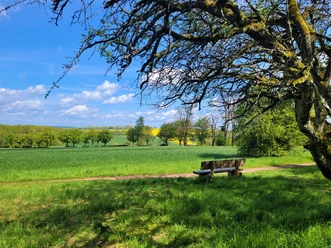
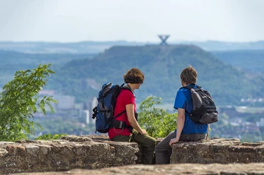
Princely hunting, glass production, forestry and mining have shaped this landscape. The trail offers a diverse sequence of forest, forest edges, ponds, hollow ways and stream valleys. Beautiful views can be enjoyed from the Meisenberg and St. Nikolausbach as well as above St. Nikolaus. Spectacular is the view from the viewing platform over the sand pit (French: Carrière) of Freyming on the western part of the trail.
Good to know
Best to visit
Tour information
Cultural Interesting
Loop Road
Loop Road
Organization
Saarland
License (master data)

Nearby


Download GPX file