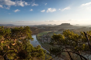
Weißig: Over the Rauenstein table mountain


- 1:20 h
- 4.04 km
- 124 m
- 124 m
- 203 m
- 286 m
- 83 m
- Start: Bus stop Weißig
- Destination: Bus stop Weißig
Bus stop Weißig - Berggaststätte Rauenstein - Gratweg - Bus stop Weißig
Good to know
Pavements
- Street (3%)Asphalt (16%)Gravel (3%)Trail (47%)Path (31%)
Best to visit
- suitableDepends on weather
Tour information
Loop Road
Loop Road
Stop at an Inn
Summit
Author
Yvonne Brückner
Organization
Tourismusverband Sächsische Schweiz
License (master data)
Yvonne Brückner

Nearby

Download GPX file