- 4:50 h
- 14.76 km
- 535 m
- 799 m
- 874 m
- 1,405 m
- 531 m
- Start: Ahorn
- Destination: Luthern Bad
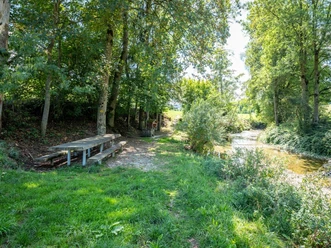
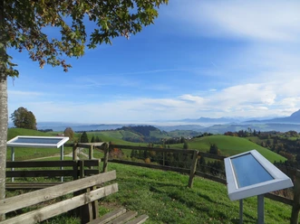
The path is well signposted along the border trail “Schweiz Mobil Route 65” over hill chains to the 1406 m high summit. Various rest areas invite you to picnic along the way. From the Napf, there is a magnificent panoramic view of the Alps, the Jura, and the Swiss Plateau. The path leads steeply via Trachselegg to Luthern Bad, from where we take the post bus to Zell, where we change to the train.
Best to visit
- suitableDepends on weather
Tour information
Stop at an Inn
Author
Willisau Tourismus
Organization
Willisau Tourismus
License (master data)
Willisau Tourismus