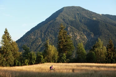
Alpbachtal and Kühzagl from Tegernsee


- 3:00 h
- 26.57 km
- 798 m
- 798 m
- 726 m
- 1,156 m
- 430 m
- Start: Tegernsee
- Destination: Tegernsee
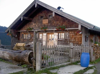
A beautiful and demanding route from Tegernsee via Kreuzbergalm to Schliersee and back via Kühzagl-Alm. Beautiful landscapes, paved roads, and trails connect great views of both lakes.
Good to know
Best to visit
suitable
Depends on weather
Tour information
Loop Road
Loop Road
Stop at an Inn
Author
Regionalentwicklung Oberland
Organization
Alpenregion Tegernsee Schliersee
License (master data)

Nearby

Download GPX file