Around the Wendelstein (route no. 9 from "RadlTraum Süd")


- 5:30 h
- 49.44 km
- 1,600 m
- 1,598 m
- 493 m
- 1,195 m
- 702 m
- Start: Bayrischzell Wendelstein cable car parking lot
- Destination: Bayrischzell Wendelstein cable car parking lot
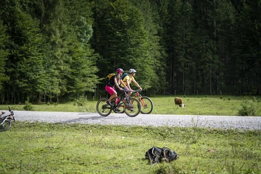
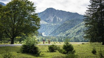
The Wendelstein is one of the most famous mountains in the Tegernsee-Schliersee Alpine region. Due to its accessibility by rack railway from Brannenburg or by cable car from Osterhofen / Bayrischzell, it is easy to reach, which can spoil the enjoyment for genuine mountaineers, but allows an extremely scenic mountain experience for the whole community, including families and seniors. Mountain biking at the summit is therefore not possible. That is why there is the route around the Wendelstein with overall more elevation gain than a normal route going directly to the summit.
The route offers everything for a mountain biker: from paved roads over large forest roads to smaller, less travelled forest roads, a pleasure for the ambitious biker.
Attention: note the push section downhill into Jenbachtal.
Good to know
Best to visit
Tour information
Loop Road
Loop Road
Stop at an Inn
Author
Regionalentwicklung Oberland
Organization
Alpenregion Tegernsee Schliersee
License (master data)

Nearby

Download GPX file