Chemnitz Höhenweg Adelsberg - Reichenhain - Erfenschlag - Harthau


- 5:00 h
- 18.76 km
- 418 m
- 418 m
- 312 m
- 500 m
- 188 m
- Start: Elementary school/church in Adelsberg
- Destination: Traffic island in Harthau (advertising column)
As part of the European Capital of Culture Chemnitz 2025, the "Kulturpfad Höhenweg" was officially opened in September 2024. The hiking trail extends over approximately 18 kilometers and connects the southern Chemnitz districts of Adelsberg, Reichenhain, Erfenschlag, and Harthau. It is not only the largest in terms of area of the city's 30 intervention spaces but also a central component of the Capital of Culture program.
Along the Höhenweg, 29 stations have been set up, which thematically form a chain as "pearls." These stations pick up interesting facts from the surroundings and offer well-founded insights into the region through accompanying information boards.
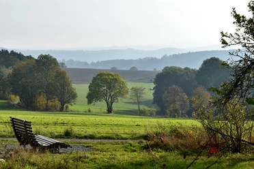
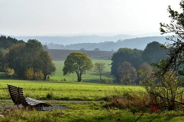
The Höhenweg runs above the valley areas and opens impressive views of the city of Chemnitz as well as the Ore Mountains foothills. Weather mushrooms have been installed at four prominent points – one per district – serving as weather protection and inviting breaks.
The Kulturpfad Höhenweg 2025 is designed as a publicly accessible hiking trail. As part of the "C the Unseen" initiative of the Chemnitz 2025 Capital of Culture, it helps make less known urban areas visible and brings their potential into focus.
Good to know
Pavements
- Unknown (6%)Asphalt (35%)Gravel (25%)Trail (30%)Path (3%)
Best to visit
- suitableDepends on weather
Author
Benjamin Schreiter
Organization
Tourismusverband Chemnitz Zwickau Region e. V.
License (master data)
Benjamin Schreiter