Circular hiking route "Between Elstertal and Leubatal"


- 5:20 h
- 19.83 km
- 294 m
- 289 m
- 241 m
- 412 m
- 171 m
- Start: Nitschareuth Farm Museum
- Destination: Nitschareuth Farm Museum
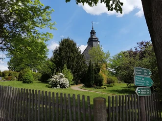
At the listed village green of Nitschareuth, start uphill on the Elsterperlenweg and follow it through the Lehnamühle and over the “Rüßdorfer Alps” to the Mühlburschensteig.
Here change to the marking (green bar) to get to Tschirma.
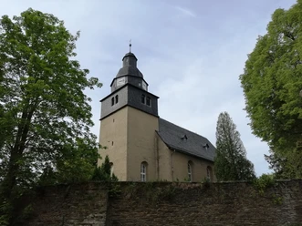
At the church, a hiking trail begins with (yellow bar) that leads through Neugernsdorf to the B 92 shortly before Wildetaube. Here there are places to eat in the inns “Drei Schwanen”, “Wilde Taube”, or “Neu-Schenke”. Otherwise, cross the B 92 carefully (!) and use (with green bar) the access road on the left to Kühdorf.
Continue through Osterholz to the Kuxmühle of Langenwetzendorf. Here hike left further (with red bar) through the elongated village to the summer pool and the forest youth hostel (also an inn).
Now change to (blue bar), and through the forest area “Haardt” with another crossing (!) of the B 92, you reach Daßlitz and via the Kirchsteig back to our starting point Nitschareuth.
Waypoints
Good to know
Pavements
- Unknown (1%)Street (14%)Asphalt (20%)Gravel (14%)Trail (47%)Path (3%)
Best to visit
- suitableDepends on weather
Directions
At the listed village green of Nitschareuth, start uphill on the “Thüringenweg” and follow it through Lehnmühle and over the “Rüßdorfer Alps” to the Mühlburschensteig and further to Tschirma. At the church, a hiking trail begins that leads through Neugernsdorf to the federal road 92 shortly before Wildetaube. Do not go to Wildetaube, but cross the B 92 carefully (!) and use an access road to Kühdorf. Continue through Osterholz to the Kuxmühle of Langenwetzendorf. Here hike left further through the elongated village to the summer pool and the youth hostel. From there, continue through the forest area “Haardt”; with a renewed crossing of the B 92, you reach Daßlitz and via the Kirchsteig back to our starting point Nitschareuth.
In Neugernsdorf, there is the possibility of a shortcut through the “Deep Valley”. After 2.5 km you reach again the Angerdorf Nitschareuth with its three- and four-sided farms in Franconian half-timbered style.
Tour information
Loop Road
Directions & Parking facilities
- Getting thereYou can reach Nitschareuth via the B 92 Gera-Greiz. At Dasslitzer Kreuz turn off to Nitschareuth.Public transportationTrain travelers use the Neumühle/Elster station on the Gera-Greiz-Weischlitz line to find the start of the hike.
Additional information
Literature
- Hiking recommendations in the Greiz region (available e.g. at the Greiz, Weida, and Zeulenroda tourist information offices as well as at the Greiz district office)
Author
Tourismus Marketing Gesellschaft Sachsen mbH
Bautzner Straße 45/4701099 DresdenOrganization
Vogtland - Sinfonie der Natur
License (master data)
Vogtland - Sinfonie der Natur

Author´s Tip / Recommendation of the author
- The Farm Museum in Nitschareuth displays collections of work tools, everyday and household items, laundry, clothing, and furniture from the peasant household of the past 300 years. In addition, the farm is surrounded by a farmer's and herb garden. Great supporting events are offered.
Nearby


Download GPX file