Dream Loop The Gisinger


- 3:00 h
- 10.88 km
- 197 m
- 197 m
- 219 m
- 376 m
- 157 m
- Start: Kirmesplatz Gisingen, Gaustr. 46, 66798 Gisingen-Wallerfangen
- Destination: Kirmesplatz Gisingen, Gaustr. 46, 66798 Gisingen-Wallerfangen
Right at the beginning of the hike, the cultural highlight: In one of the old Gisingen farmhouses is the local history and farming museum "Haus Saargau." The faithfully restored Lorraine farmhouse from the 18th century houses, besides old Lorraine furniture, furnishings and everyday items from the 19th and 20th centuries. Herbs and spices grow in the 1000 square meter garden.
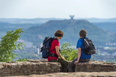
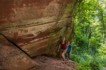
Already on the ascent to the summit of Gallenberg, there are wide views over the land; on one side the view extends to the tri-border area of Germany, France, and Luxembourg, on the other side to the Saar valley, where the spoil heap of the former Duhamel mine in Ensdorf can be clearly seen. In the extensive forest area above layers of Middle Muschelkalk below Gisingen is the first geological highlight: a tufa staircase of the calcareous Leitersteiner Bach. In the streambed, stones, leaves, and twigs covered by a lime crust can be discovered. This is followed by the Leitersbacher spring at Leitersbacher Born, the natural monument "Pastorgrät," as well as the Itzbacher valley. Here is another geological highlight: the "Grott," also called "Raufels." In an area characterized by Buntsandstein, there is a huge gray limestone rock formed by the strongly calcareous and carbon dioxide-rich water from the higher-lying Lehrborn.
The route was rated by the German Hiking Institute with 63 experience points.

Good to know
Best to visit
Tour information
Loop Road
Loop Road
Author
Klaus Wallach
Organization
Saarland
License (master data)

Nearby
Download GPX file