Traumschleife Idesbachpfad


- 6:00 h
- 18.47 km
- 563 m
- 563 m
- 192 m
- 339 m
- 147 m
- Start: Heßmühle, Heßmühle 4, 66780 Rehlingen-Siersburg
- Destination: Heßmühle
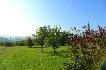
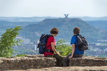
The challenging hike stretches through the idyllic valley of the Idesbach and the adjacent heights. Right after the start, the first long ascent begins. At the top, the first view onto the Saar valley.
The Trippsborn, a massive Buntsandstein rock formation, is overgrown with ivy and moss. The path winds upwards over numerous steps.
Along the edge below Oberlimberg, weathered sandstone boundary stones indicate a former border. From 1697 to 1718, the state border to the French exclave Saarlouis ran here.
In the valley bottom, later on, begins the most adventurous part of the entire route. Various side valleys are connected by dizzying wooden stairways. The crossing ends at the so-called "Pastorengrät". The "Raufels" and a tufa staircase are the next destinations before a long descent through the "Forest of Giants". Over 40-meter high beeches, some over 180 years old, tower upwards. Shortly thereafter, the path passes the fore-ramp of the former section rampart of the Königsberg. Here are traces of Celts and Romans.
The path was rated by the German Hiking Institute with 66 experience points.
Good to know
Best to visit
Tour information
Cultural Interesting
Loop Road
Loop Road
Author
Frank Polotzek
Organization
Saarland
License (master data)

Nearby
Download GPX file