Eich Village Trail (Saxony)

- 1:50 h
- 7.36 km
- 96 m
- 96 m
- 443 m
- 526 m
- 83 m
- Start: Eich Village House
- Destination: Eich Village House
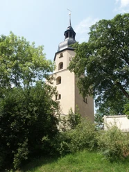
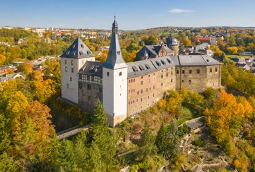
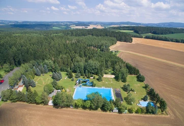
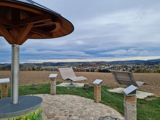
Along approximately 7.5 km of trail, you pass through the village and surrounding heights to new views and sights. Welcome benches with overview boards and the greeting "Daach" invite you to rest along the way. On the circular route, hikers and walkers learn interesting facts at 15 stations about the village's history, buildings, and traditions.
Good to know
Pavements
- Unknown (5%)Street (3%)Asphalt (53%)Gravel (20%)Trail (18%)Path (1%)
Best to visit
- suitableDepends on weather
Directions
1. Village House
2. School Monument
3. Lonely Grave
4. Old Farm
5. Outbuilding
6. Mill
7. Old Kindergarten
8. Forester's House
9. Stone Cross
10. Pitch Boiler
11. Train Station
12. Karl Mine
13. Old Brickworks
14. Gymnasium
15. Grieben Hearth
Tour information
Cultural Interesting
Loop Road
Directions & Parking facilities
- Getting there
From the south direction A 72, exit Treuen, drive towards Treuen. Stay on the main road and continue straight along the new bypass towards Auerbach/Rodewisch, after the expansion ends, head in the direction of Lengenfeld/Buch (over the railway tracks); here is the village entrance Eich.
From the north direction A 72, exit Reichenbach, turn left towards Rodewisch. At the village entrance Lengenfeld, turn right. Drive through Lengenfeld towards Eich or Treuen.
Public transportationFor more information, contact the Tourism and Transport Center at the service number 03744 19449 or online at www.vogtlandauskunft.de or directly via their timetable information.
Bus stop Eich, school
Literature
https://www.eich-sachsen.de/dorfpfad/
Author
Dorina Wießner
Organization
Vogtland - Sinfonie der Natur
License (master data)
Dorina Wießner

Nearby
Download GPX file