From Beerheide to Ellefeld - Hohofen - Route 7 Beerheide


- 2:35 h
- 9.59 km
- 176 m
- 179 m
- 502 m
- 681 m
- 179 m
- Start: Culture Center Beerheide
- Destination: Culture Center Beerheide
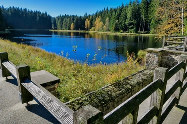
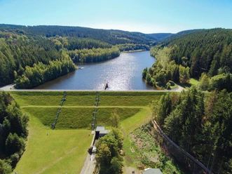
You start your hike at the Culture Center in Beerheide and walk along the forest edge towards the valley of the Red Göltzsch downstream, along the Röthelstein to the double bridge, direction Ellefeld/Hohofen past the natural swimming pool. Your path leads you towards Rempesgrün to the hiking rest area “Göltzschtal view”. – Along the settlement in Beerheide you reach the starting point of your route again.
Waypoints
Start


Good to know
Best to visit
suitable
Depends on weather
Tour information
Loop Road
Loop Road
Tour with Dog
Author
Claudia Gerisch
Organization
Vogtland - Sinfonie der Natur
License (master data)
Claudia Gerisch

Nearby


Download GPX file