Gera-South Nature Trail


- 3:30 h
- 12.44 km
- 277 m
- 312 m
- 197 m
- 307 m
- 110 m
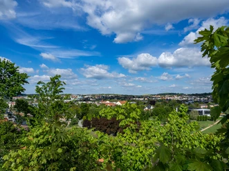
With the trail, you embark on a discovery journey through an area where, due to geological conditions and human use, a diverse mosaic of different biotopes developed within a small space. Botanical and zoological studies in the Gessental and on the Lasur have brought numerous natural treasures to light. The few square kilometers feature over 30 different habitat types. Furthermore, more than 470 plant species, over 400 butterfly species, 550 beetle species, and over 80 bird species with breeding evidence have been recorded.
At the 27 stations of the Gera-South Nature Trail, each marked by a distinctive oak wood stele with the silhouette of a deciduous tree, you will be informed about the diversity of local nature and pointed to interesting aspects of local history.
By the way, you are walking on a historical trail: since 1946, there was a nature trail that had fallen into oblivion. About 60 years later, the city of Gera, together with numerous supporters, succeeded in reviving and redesigning the trail.
According to the marking guideline for hiking trails in Thuringia, all nature trails are marked with a green diagonal stripe on a white background. This symbol will also guide you along the Gera-South Nature Trail.
Good to know
Best to visit
- suitableDepends on weather
Author
Saskia Prelec
Organization
Vogtland - Sinfonie der Natur
License (master data)
Saskia Prelec