Great Nature Route - Route 2 Beerheide


- 3:25 h
- 13.12 km
- 128 m
- 145 m
- 611 m
- 738 m
- 127 m
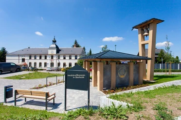
- Start: Hiking car park at Waldsportplatz Beerheide
- Destination: Hiking car park at Waldsportplatz Beerheide
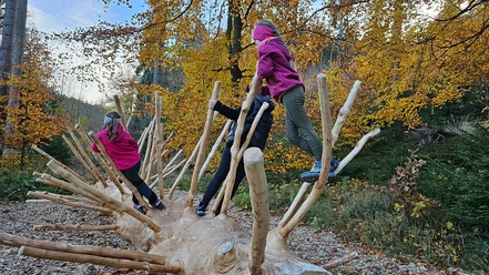
Starting from the hiking car park in Beerheide, your hike leads along the Floßbahn to the Sieben Wege junction. Via Lindnerweg you reach the Zwickauer Mulde and follow it to Rautenkranz to the German Space Exhibition. Along Filz on Rautenkranzer Straße, the hike passes Jungfernsprung to Waldpark Grünheide. Both at Jungfernsprung and in the park there is an opportunity to rest. From the park area, you hike to the Sechs Wege junction where you can rest again and enjoy the peace of the forest. Via Jägerwiesenweg you return toward the hiking car park at the Waldsportplatz, the starting point of your hike.
Waypoints


Good to know
Best to visit
Tour information
Loop Road
Loop Road
Tour with Dog
Author
Claudia Gerisch
Organization
Vogtland - Sinfonie der Natur
License (master data)
Claudia Gerisch

Nearby


Download GPX file