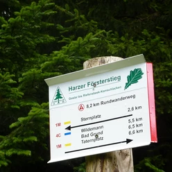
Harzer-Hexen-Stieg - 2nd stage - from Buntenbock to Torfhaus

- 5:30 h
- 21.91 km
- 382 m
- 145 m
- 554 m
- 800 m
- 246 m
- Start: Buntenbock
- Destination: Torfhaus
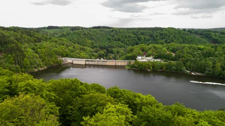
Do you know the "Sperberhaier Damm"? The impressively hand-built structure once served to supply water to the Clausthal mines, as did the numerous ponds, ditches, and watercourses (= underground channels) of the UNESCO World Heritage "Upper Harz Water Management System".
The 'mouth holes', entry and exit points of the water to the underground, are still partially visible. Pay attention to the "Dennert-Tanne", the typical yellow Harz information signs shaped like a conifer, the building material of the miners. Passing Altenau, we enter the Harz National Park. With some luck, we may encounter a shy lynx – the king of the Harz forests, which is being reintroduced here. Get information at the Torfhaus National Park House and join a hike with the National Park ranger.
Good to know
Best to visit
Tour information
Cultural Interesting
Author
Harzer Tourismusverband
Organization
Harz: Magische Gebirgswelt
License (master data)

Nearby