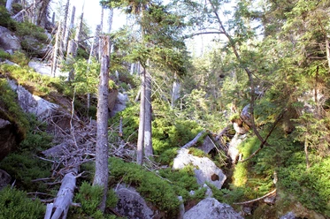
Hiking route 'Ranne' (seedlings on rotten trunk) (Fredenbrücke - Lusen)

- 2:30 h
- 4.70 km
- 530 m
- Start: Fredenbrücke, below Waldhäuser, 94556 Neuschönau
- Destination: Lusen
Starting at Fredenbrücke, the 'Ranne' trail follows along the Kleine Ohe River to Martinsklause. Further along the route, it leads through a rocky path to ‘Teufelsloch' (Devil's Hole) and to the ‘Glasarche' (Glass Ark) at the base of Lusen. Finally, you'll ascend the steep 'Himmelsleiter' to the summit of Lusen, which is adorned with boulders and stands at an elevation of 1373 meters.
Good to know
Best to visit
- suitableDepends on weather
Contact person
Hans-Eisenmann-Haus
Nationalparkzentrum LusenBöhmstraße 3594556 NeuschönauAuthor
Nationalparkverwaltung Bayerischer Wald
Freyunger Str. 294481 GrafenauOrganization
Nationalparkverwaltung Bayerischer Wald
License (master data)