Kappelrodeck - wine hike around the "Red Wine Village" (official route)

- 4:30 h
- 14.43 km
- 407 m
- 407 m
- 202 m
- 376 m
- 174 m
- Start: Kappelrodeck station
- Destination: Kappelrodeck station
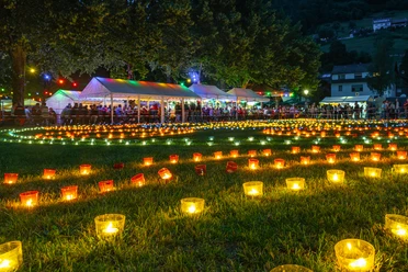
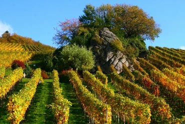
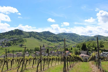
A bit of everything!
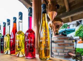
On this route, you will lack nothing: sunny, well-maintained paths surrounded by rich vineyards; soft trails through shady forests, resting spots at various schnapps and beverage fountains - and again and again grand views into idyllic Black Forest valleys and the Rhine valley. Take your time to discover the paths in the "Red Wine Village"!
Good to know
Pavements
Street (2%)
Asphalt (63%)
Gravel (7%)
Trail (27%)
Path (1%)
Best to visit
suitable
Depends on weather
Tour information
Loop Road
Loop Road
Stop at an Inn
Author
Nationalparkregion Schwarzwald - Achertal
Organization
Nationalparkregion Schwarzwald - Achertal
License (master data)
Nationalparkregion Schwarzwald - Achertal

Nearby
Download GPX file