Kappler Genusstour


- 2:50 h
- 9.19 km
- 282 m
- 283 m
- 149 m
- 384 m
- 235 m
- Start: Kappelwindeck Kirchplatz
- Destination: Kappelwindeck Kirchplatz
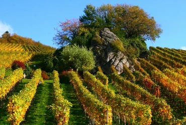
From the picturesque Kirchplatz in Kappelwindeck with the large lime tree, the path leads through orchards, vineyards, and forest to the Alt-Windeck castle ruins. Here you can enjoy the magnificent view from the castle tower during a break. The return route leads back through Kappelwindeck to Kirchplatz. Along the way, various inns invite you to stop for refreshments.
Good to know
Pavements
Unknown (10%)
Street (5%)
Asphalt (32%)
Gravel (27%)
Trail (17%)
Path (9%)
Best to visit
suitable
Depends on weather
Tour information
Cultural Interesting
Loop Road
Loop Road
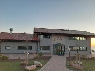
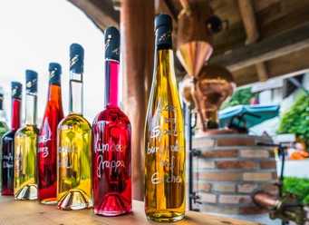
Stop at an Inn
Author
Bianca Lang
Organization
Bühl-Bühlertal-Ottersweier
License (master data)
Bianca Lang

Nearby
Download GPX file