- 3:45 h
- 13.60 km
- 218 m
- 221 m
- 96 m
- 223 m
- 127 m
- Start: Visitors' Center in Melle - Wellingholzhausen
- Destination: Visitors' Center in Melle - Wellingholzhausen
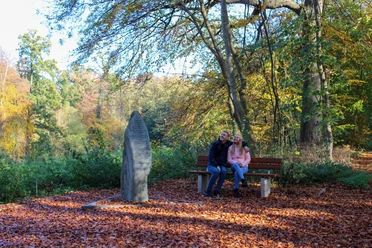
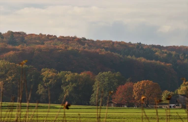
This varied circular hiking trail around Melle-Wellingholzhausen combines scenic high points, tranquil nature, and fascinating geology. Highlights such as the observation tower on the Beutling, the Schwarze Welle, the Blaue See, the Rehquellen, and the impressive limestone sinter terraces make this challenging tour a special hiking experience in the Teutoburg Forest.
You can find a detailed description in the tour planner from the “
” TERRA.vita Nature and Geopark.
You can find a detailed description in the tour planner from the “
” TERRA.vita Nature and Geopark.
Best to visit
- suitableDepends on weather
Tour information
Labelling
Loop Road
Loop Road
Stop at an Inn
Contact person
Author
Tourismusgesellschaft Osnabrücker Land mbH
Herrenteichsstraße 17+1849074 OsnabrückOrganization
Tourismusgesellschaft Osnabrücker Land mbH
License (master data)
Tourismusgesellschaft Osnabrücker Land mbH