The ridge heading south

- 5:15 h
- 16.40 km
- 700 m
- 2,019 m
- 484 m
- 2,013 m
- 1,529 m
- Start: Summit station Stanserhorn
- Destination: Dallenwil
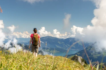
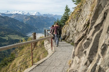
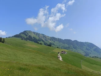
After the repeatedly impressive ride with the CabriO to Stanserhorn, a coffee on the viewing terrace is a must. From Adlerhorst (Stanserhorn) follows the well-secured descent on the Geo Trail towards Chrinnen with views of the striking rock formations at Chli Horn. At Holzwang, the detour to the chapel of the same name is worthwhile. Over the Ächerli you reach the entry towards Arvigrat. The ascent from Chüenerenegg is steep; the many roots require great caution, especially in wet weather. The last meters to the summit are somewhat exposed, with the flanks of the Arvigrat steep. The descent first heads south on the ridge, then down to the Schellenfluehütte and along the natural path to Gummenalp (restaurant). Particularly beautiful at the end is the option that bypasses the Ronengrat on the east side. Afterwards, you continue by cable car or on foot to Wirzweli, with a stop at the mountain inn Arviblick and then by cable car into the valley to Dallenwil.
Good to know
Pavements
- Unknown (19%)Street (8%)Asphalt (5%)Trail (19%)Path (48%)
Best to visit
- suitableDepends on weather
Tour information
Mountain Railway Tour
Nature Highlight
Author
Nidwalden Tourismus
Organization
Nidwalden Tourismus
License (master data)
Nidwalden Tourismus