Traumschleifchen Fischerberg


- 1:15 h
- 4.68 km
- 56 m
- 62 m
- 309 m
- 365 m
- 56 m
- Start: Fischerberghaus, Beckingen
- Destination: Fischerberghaus, Beckingen
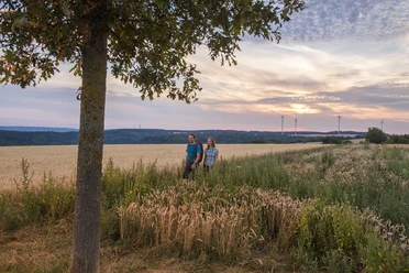
We start our hike at the Fischerberghaus and take the leisurely walk without significant ascent clockwise.
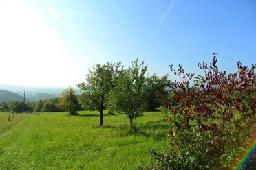
Through beautiful mixed forest past several Westwall bunkers and a wonderful view towards Fremersdorf into the Saar valley and the Vosges foothills, we reach after about 2.5 km a resting place with a sensory bench with a view towards Merzig for resting. Over a wide path, we reach after about 600 m the highest point of the path (387 m) and from here have a wonderful panoramic view to the northern and western Saarland (Schaumberg, Göttelborner Höhe, etc.). The remaining approx. 1500 meters lead through wide orchid meadows, past the hydraulic pumps created for watering the cattle, always with a view to the Schaumberg or further Saar views back to the Fischerberghaus.

Good to know
Best to visit
Tour information
Familiy-Friendly
Loop Road
Loop Road
Stop at an Inn
Author
Frank Polotzek
Organization
Saarland
License (master data)

Nearby
Download GPX file