Via Adrina - trail of scenic relations - 2nd stage


- 3:00 h
- 10.14 km
- 192 m
- 204 m
- 364 m
- 544 m
- 180 m
- Start: e.g. above the Schwarzenau Mill, Gasse 8, Bad Berleburg-Schwarzenau
- Destination: This is also where the route ends.
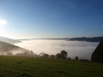
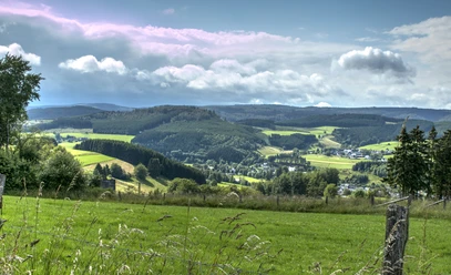
A hike of long-range views - even if you only walk the second stage. Beautiful landscape, the rushing Eder and fairy-tale paths await the hiker.
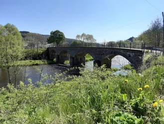
The 11 km long section of the premium hiking trail leads through varied landscape along the Eder around Schwarzenau. The approx. 3 1/2-hour route leads through hilly landscape, up and down. It rewards with wonderful panoramic views from the heights and adventurous natural paths in the valleys.
Especially good views can be enjoyed from the viewing platform above Hüttental in Schwarzenau of the sections already covered and the upcoming sections.
Waypoints
Good to know
Best to visit
Tour information
Cultural Interesting
Loop Road
Loop Road
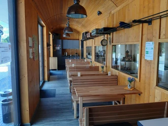
Stop at an Inn
Organization
BLB-Tourismus GmbH
License (master data)

Nearby
Download GPX file