Via Adrina - Wonderful views


- 6:39 h
- 20.74 km
- 750 m
- 742 m
- 366 m
- 565 m
- 199 m
- Start: Entrance portal at the Eder bridge in Arfeld
- Destination: Entrance portal at the Eder bridge in Arfeld
The 20-kilometer-long premium hiking route leads through the varied landscape along the Eder around Arfeld and Schwarzenau. On the approximately six-hour route, you can energetically explore the Eder loops in a figure eight.
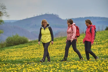
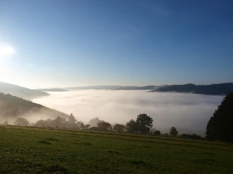
The hilly landscape goes up and down many times. You are rewarded on the way with wonderful panoramic views from the heights and adventureously winding natural paths in the valleys.
Two viewing platforms set special accents; from there, good "visual connections" to the preceding and upcoming sections of the route are maintained.
The signs with stylized waves indicate the Via Adrina in both directions, which was awarded the third most beautiful hiking trail in Germany in 2009. A well-marked shortcut also makes it possible to divide the circular route into two stages of twelve kilometers each.
Enjoy the tranquility on the extensive route and take a deep breath.
Waypoints
Good to know
Best to visit
- suitableDepends on weather
Tour information
Cultural Interesting
Labelling
Loop Road
Loop Road
Mainly Sunny
Possibility of Accommodation
Premium Trail German Hiker Seal
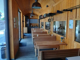
Stop at an Inn
Contact person
Author
BLB-Tourismus GmbH
Organization
License (master data)

Nearby



Download GPX file