Bike2Hike from Miesbach to Josefsthal


- 1:05 h
- 13.48 km
- 122 m
- 18 m
- 686 m
- 808 m
- 122 m
- Start: Miesbach train station
- Destination: Josefsthal hiking parking lot
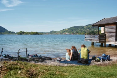
Many hiking parking lots are optimal starting points for hiking routes and are therefore very popular and unfortunately often overcrowded. Those who want to avoid traffic jams and appreciate physical activity start perfectly with the Bike2Hike routes. The car stays at less crowded parking areas or the journey is done with public transport. Because nothing is nicer than cycling calmly past the excursion traffic to the parking lot of the desired route, parking your bike easily, and after the route, cycling back relaxed. Additionally, you pass a large selection of dining options.
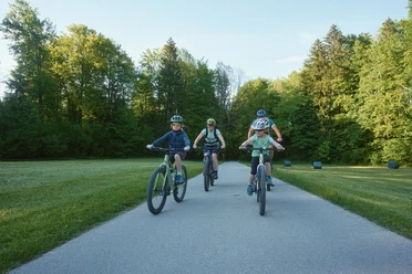
The route starts in Miesbach and is thus optimally connected to various public transport options. From there, it goes about 13.6 km towards Schliersee to Neuhaus or Josefsthal, where there are numerous possibilities for small and larger hiking routes: the bike route can, for example, end at the Dürnbach hiking parking lot in Neuhaus to start the hiking route to Bodenschneid. The Josefsthal hiking parking lot is suitable as a starting point for climbing the Brecherspitz. The Spitzingsee region is also easily accessible and offers numerous routes as well as dining options.
Good to know
Best to visit
Tour information
Stop at an Inn
Author
Regionalentwicklung Oberland
Organization
Alpenregion Tegernsee Schliersee
License (master data)

Nearby