Braunlage for the eye

- 1:45 h
- 6.50 km
- 87 m
- 87 m
- 542 m
- 630 m
- 88 m
- Start: Heinrich-Jasper-Platz, Braunlage, GPS: 32 U 611163 5731847
- Destination: Heinrich-Jasper-Platz, Braunlage, GPS: 32 U 611163 5731847
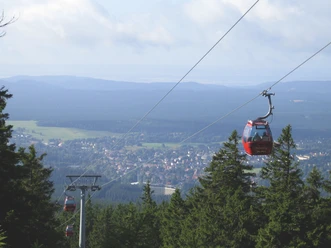
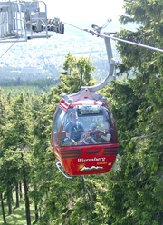
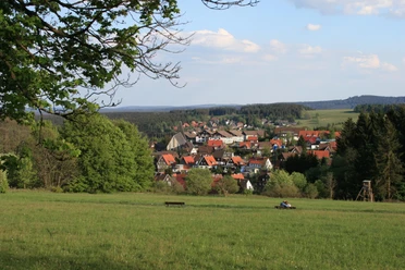
This short hike for the whole family begins directly in the town center. You walk along the ski slope to the Loipentor, where after less than a kilometer you are rewarded with the first view over the town. The route continues along the edge of town until you reach the mountain meadows at Hasselkopf and one of Braunlage’s most beautiful viewpoints, the Adamsblick. Enjoy the view of the Wurmberg, the course of the former inner-German border, and the Achtermannshöhe!
The return path of the route leads you along the main shopping street past numerous shops and dining options back to the starting point. It is also suitable for a shopping stroll.
Good to know
Best to visit
Tour information
Loop Road
Loop Road
Author
Harzer Tourismusverband
Organization
Harz: Magische Gebirgswelt
License (master data)

Nearby

Download GPX file